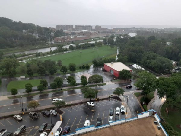
A Flash Flood Warning has been issued for Alexandria and other parts of the D.C. region as several rounds of downpours pass through today (Sunday).

The National Weather Service issued the warning from 4:34 p.m. to 7:45 p.m., and a Flash Flood Watch continues until midnight. A Flash Flood Warning means forecasters anticipate flash flooding is happening or expected to soon begin.


As thunderstorms advance into the evening, the National Weather Service has issued a Severe Thunderstorm Watch for Alexandria and the rest of the D.C. region.

Capital Weather forecasters say multiple rounds of storms are possible Tuesday afternoon and evening. The Severe Thunderstorm Watch is in effect until 10 p.m.


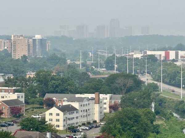
Smoke from the wildfires raging in Canada is having more of an impact Friday in Alexandria and the D.C. region.

Alexandria is under an Air Quality Alert Friday (July 17), Mayor Alyia Gaskins said in a social media update. According to AirNow air quality monitoring, the current air quality index in Alexandria exceeded 200, reaching the “very unhealthy” level.


An Air Quality Alert and Heat Advisory have been issued for Alexandria as wildfire smoke combined with high temperatures could have an impact Thursday (July 16).

Alexandria and the region are under a Code Orange Air Quality Alert, which means conditions may be unhealthy for sensitive groups. Sensitive groups include children, older adults, and people with asthma, heart disease or other lung diseases.


Alexandria is facing a flood watch today (Thursday) as storms with potential for downpours are in the forecast.

The National Weather Service issued the flood watch from 2-11 p.m. in Alexandria and other parts of the D.C. region. Forecasters say strong storms developing in the afternoon have the ability to create flash flooding.


The hottest weather of the year has arrived in Alexandria.

The National Weather Service upgraded the earlier watch to an Extreme Heat Warning for Alexandria and other parts of the D.C. region from 10 a.m. to 8 p.m. Thursday and Friday. The real-feel heat index could reach 111 degrees Thursday and 112 Friday.


The hottest stretch of the year so far has arrived in Alexandria.

The National Weather Service has issued a Heat Advisory from 11 a.m. to 8 p.m. Wednesday and Extreme Heat Watch from Thursday morning through Friday evening. Under the Heat Advisory, the real-feel heat index values could reach 106 degrees. The heat index, a combination of high temperatures and humidity, could climb as high as 112 during the Extreme Heat Watch.


More than 7,800 customers are without power in Alexandria as the city and region are hit with severe thunderstorms tonight (Monday).

As of 7:45 p.m., Dominion Energy reported 7,821 customers without power across five outage areas. The outages are concentrated around the West End north and south of Duke Street, but they’ve also been reported in Taylor Run, Rosemont and Arlandria.


A Severe Thunderstorm Watch has been issued for Alexandria and the rest of the D.C. region as scattered severe storms are possible today (Monday).

The watch is in effect until 9 p.m. National Weather Service forecasters say scattered severe thunderstorms could produce damaging winds and isolated tornadoes in the afternoon and evening. Multiple rounds of storms haven’t been ruled out, creating potential for scattered flooding in urban and poor drainage areas.


High heat combined with high humidity has led to a Heat Advisory for Alexandria and other parts of the D.C. region Thursday.

The National Weather Service issued the advisory from 11 a.m. to 8 p.m. for areas around the Interstate 95 corridor in Northern Virginia, D.C. and parts of Maryland. The heat index, a real-feel estimate due to the temperature and humidity, could reach up to 105 degrees.


View More Stories