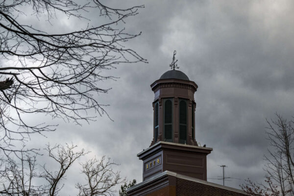
The City of Alexandria is facing flooding as the remnants of Tropical Storm Debby sweep through the region.
The City’s Rain Gauge and Stream Flow indicates that Waterfront Park is currently under 3.61 feet of water.
The City of Alexandria is facing flooding as the remnants of Tropical Storm Debby sweep through the region.
The City’s Rain Gauge and Stream Flow indicates that Waterfront Park is currently under 3.61 feet of water.
Yesterday’s rain was relatively mild, but the National Weather Service (NWS) warns the worst of Tropical Storm Debby’s impact is still ahead.
The region is under a Hazardous Weather Outlook for today and tonight, with scattered instances of flooding possible. The NWS forecast calls for a 70% chance of precipitation tonight, with rainfall amounts between a tenth and a quarter of an inch, though it could be worse in some places.
It’s no secret that Alexandria has flooding problems, and the City of Alexandria is giving free sandbags to residents and businesses this morning for those preparing for the remnants of Tropical Storm Debby.
According to a release:
While today and possibly tomorrow are likely to be mostly sunny, the National Weather Service warned that starting Tuesday afternoon, Alexandrians can expect rain every day through Saturday.
The rain prediction comes as tropical storm Debby makes landfall in Florida.
After some humid but relatively mild summer days, Alexandria and other nearby localities are back under an Excessive Heat Warning.
The excessive heat warning is in effect from noon today to 8 p.m. this evening, with heat index values up to 110 degrees.
Despite some recent rain, the City of Alexandria is under a drought watch.
In a release, the City said a Drought Watch was declared by the Council of Governments (COG) across the D.C. region due to unusually dry conditions.
As of 3:45 p.m., the skies above Alexandria are cloudy but not too ominous. The National Weather Service, however, warned that could change this afternoon.
Alexandria and many of the neighboring localities are under a severe thunderstorm watch until 10 p.m. tonight (Tuesday). The chance of precipitation is only 40% tonight, but goes up to 80% tomorrow with isolated showers and thunderstorms likely between noon and 2 p.m. tomorrow.
Just like it did last week, Alexandria is starting out Monday with warnings about extreme heat.
An Excessive Heat Warning has been issued to Alexandria and many of the surrounding localities. The temperature is hovering around 98 degrees, but it’s expected to hit up to 101. The heat index values are expected to go as high as 111 degrees.
It’s been a week for weather alerts.
Alexandria and neighboring communities are under a Severe Thunderstorm Watch until 10 p.m. Alexandria is also under an Excessive Heat Warning for the second day in a row.
The National Weather Service (NWS) warned that it is getting dangerously hot again today.
The NWS said the heat index value is upwards of 111 degrees around Northern Virginia as well as Maryland and D.C.
Alexandrians considering outdoor activities this 4th of July (Thursday) may want to plan a backup or bring a sturdy umbrella.
The National Weather Service is forecasting “a chance of showers and thunderstorms after 2 p.m.” on Thursday, though it said the chance of precipitation is 50%.