
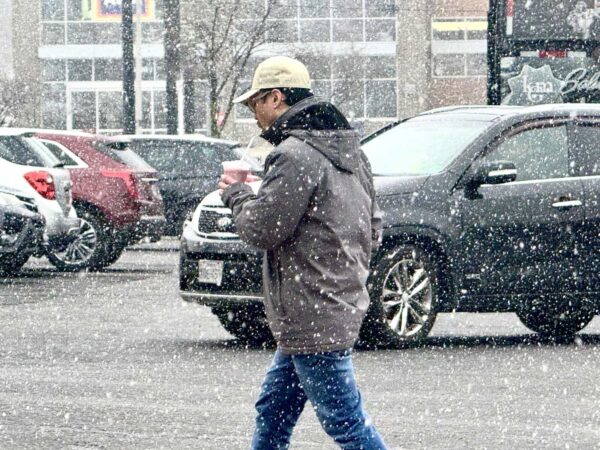
Snowfall has started in Northern Virginia, with about an inch or less of accumulation predicted throughout the rest of the day Monday, according to the latest forecast from the National Weather Service.
Light snow is expected through the midday and afternoon, with the steadiest snowfall lasting through 5 p.m., according to NWS. As much as an inch of snow could accumulate at unpaved surfaces throughout the D.C. metro area, NWS said in a special weather statement issued this morning (Monday).
NWS advised that road surfaces could get “slushy or even snow covered” this afternoon, and that any standing water or slush could freeze overnight.
“Slow down and use caution while traveling,” NWS advised. “The latest road conditions for the state you are calling from can be obtained by calling 5 1 1.”
Tonight, expect more snow before 3 a.m., with less than a half-inch accumulation, NWS forecasts.
The City of Alexandria began preparing for the wintry mix over the weekend, pretreating roadways and residential routes, “with priority given to areas most susceptible to icy conditions such as hills, bridges, and overpasses,” according to a city announcement yesterday.
Despite the wintry mix, warmer temperatures are coming soon. Tomorrow, NWS predicts that temperatures will climb to 49 degrees before reaching the 60s and 70s for the rest of the week.
The city shared the following tips ahead of today’s weather.
- If you encounter salt or brine trucks on the road, please give them space to work and share the road safely.
- Clear debris around storm drains to limit ice buildup and keep melting snow and ice flowing.
- Reminder to salt smarter! One 12-ounce up is enough for 10 sidewalk squares or 500 square feet of driveway coverage, and by waiting to salt until closer to the predicted weather conditions you can help limit harmful salt runoff.