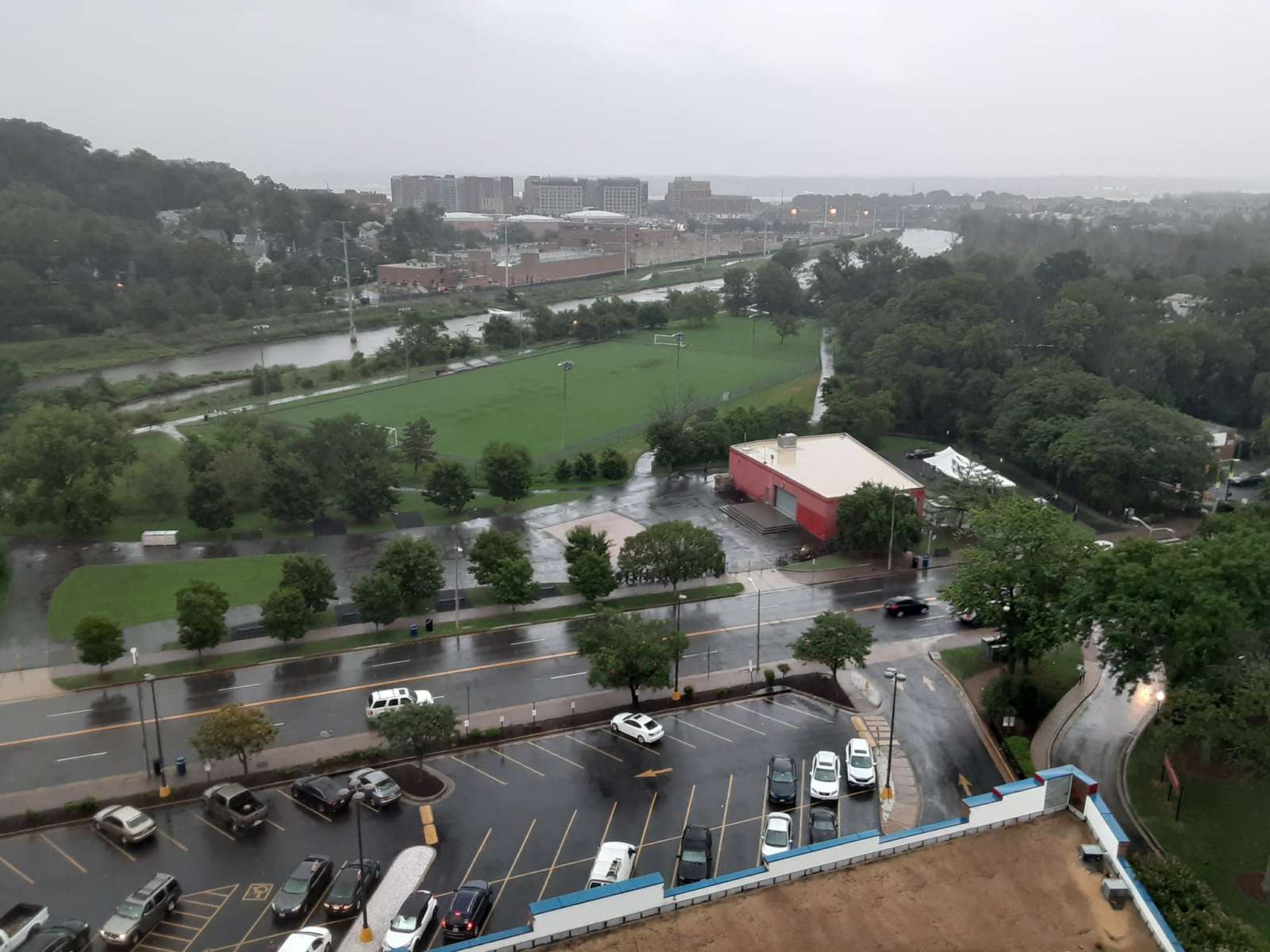
(Update 7:30 p.m.) A Flash Flood Watch in effect in Alexandria from 11 p.m. tonight until 11 p.m. Tuesday night.
“Plan for hazardous wind of equivalent tropical storm force,” warned NWS. “Remaining efforts to protect property should be completed as soon as possible. Prepare for limited wind damage.”
Alexandria Fire Department spokesperson Raytevia Evans said the department is coordinating with other departments to monitor water levels to prepare, whether it’s a full storm or just a downpour.
“We’re focused across the entire city,” Evans said. “Because those floodings happen in those areas often, like Old Town, those kinds of things we’re monitoring, but we’re also making sure inland water rescue teams are prepped and ready to go for various areas.”
A Tropical Storm Warning is now in effect for much of central and southern MD, DC, as well as portions of northeastern VA along the I-95 corridor. Flooding rain, wind damage, and tidal flooding are all threats to the area. See https://t.co/NrmMNLJviC for further details. pic.twitter.com/6PFGukknRh
— NWS Baltimore-Washington (@NWS_BaltWash) August 3, 2020
According to NWS:
SITUATION OVERVIEW
Significant flash flooding of small streams and creeks is likely
tonight into Tuesday evening as rainfall associated with Tropical
Storm Isaias spreads northward. Widespread rainfall totals of 3 to
6 inches are expected with locally higher amounts possible. The
highest amounts are expected east of the Blue Ridge Mountains
particularly over the I-95 corridor late tonight through Tuesday.
Tropical storm force winds are expected along and east of the
I-95 Corridor and north central Maryland. Tree damage and power
outages are possible in this area. Moderate coastal flooding is
also possible at times of high tide as Isaias makes its closest
approach to the area and continuing Wednesday morning.POTENTIAL IMPACTS
* FLOODING RAIN:
Prepare for life-threatening rainfall flooding having possible
extensive impacts along and east of the I-95 corridor. Potential
impacts include:
– Major rainfall flooding may prompt many evacuations and rescues.
– Rivers and tributaries may rapidly overflow their banks in
multiple places. Small streams, creeks, canals, arroyos, and
ditches may become dangerous rivers. In mountain areas,
destructive runoff may run quickly down valleys while
increasing susceptibility to rockslides and mudslides. Flood
control systems and barriers may become stressed.
– Flood waters can enter many structures within multiple
communities, some structures becoming uninhabitable or washed
away. Many places where flood waters may cover escape routes.
Streets and parking lots become rivers of moving water with
underpasses submerged. Driving conditions become dangerous.
Many road and bridge closures with some weakened or washed out.Prepare for dangerous rainfall flooding having significant impacts
east of the Blue Ridge Mountains.* WIND:
Prepare for dangerous wind having possible significant impacts along
and east of the I-95 corridor.
Potential impacts in this area include:
– Some damage to roofing and siding materials, along with damage
to porches, awnings, carports, and sheds. A few buildings
experiencing window, door, and garage door failures. Mobile
homes damaged, especially if unanchored. Unsecured lightweight
objects become dangerous projectiles.
– Several large trees snapped or uprooted, but with greater
numbers in places where trees are shallow rooted. Several
fences and roadway signs blown over.
– Some roads impassable from large debris, and more within urban
or heavily wooded places. A few bridges, causeways, and access
routes impassable.
– Scattered power and communications outages, but more prevalent
in areas with above ground lines.* SURGE:
Prepare for locally hazardous surge having possible moderate impacts
along the tidal Potomac River. Potential impacts in this area
include:
– Localized inundation with storm surge flooding mainly along
immediate shorelines and in low-lying spots, or in areas
farther inland near where higher surge waters move ashore.
– Sections of near-shore roads and parking lots become overspread
with surge water. Driving conditions dangerous in places where
surge water covers the road.
– Moderate beach erosion. Heavy surf also breaching dunes, mainly
in usually vulnerable locations. Strong rip currents.
– Minor to locally moderate damage to marinas, docks, boardwalks,
and piers. A few small craft broken away from moorings.
James Cullum and Vernon Miles contributed to this report
Staff photo by James Cullum


