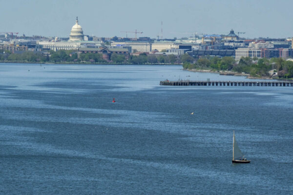
Regional officials were briefed yesterday (Monday) on continued repairs and efforts to mitigate health risks five weeks after a sewage pipe collapsed, releasing an estimated 243 million gallons of sewage into the Potomac River.
DC Water officials outlined steps it has taken since the Jan. 19 sewer pipe collapse, just east of the American Legion Bridge, during a virtual meeting with the Metropolitan Washington Council of Governments that included Vice Chair, Mayor Alyia Gaskins. The collapse happened in a section of the Potomac Interceptor, which carries about 60 million gallons of sewage daily from Fairfax and Loudoun counties, the towns of Vienna and Herndon, Dulles Airport and Montgomery County, Md.