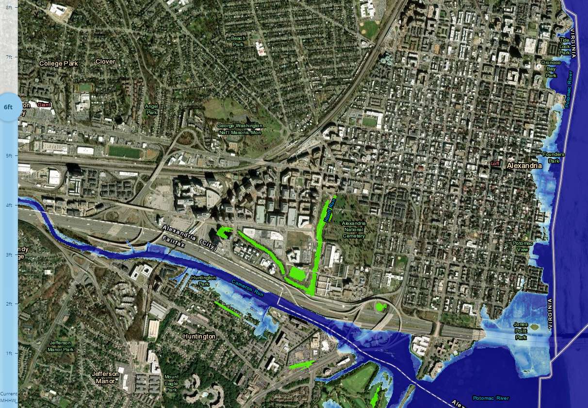
A new interactive map published by the National Oceanic and Atmospheric Administration (NOAA) shows how rising sea levels will impact Virginia cities, Newsweek reported.
The United Nations’ Intergovernmental Panel on Climate Change (IPCC) forecasts global sea levels are likely to rise up by 3.51 feet by 2100 but could possibly rise as high as 6.6 feet above Mean Higher High Water (MHHW).
A 3-foot increase would leave some of the lower parts of King Street’s waterfront fully underwater. Parts of Daingerfield Island and Jones Point Park would be submerged, and all of Four Mile Run Park would be submerged.

Rounding up the 6.6-foot possibility to 7 feet fully submerges Jones Point Park and Daingerfield Island. nearly all of the Old Town waterfront would be underwater, with the new water line reaching three blocks up King Street.
The new MHHW would also expand Cameron Run where it runs up into Eisenhower, as well as fully flooding parts of Huntington south of Alexandria.

