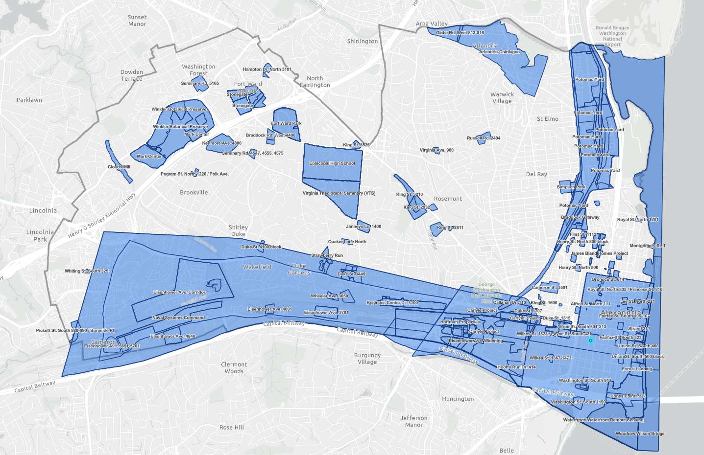
The days of digging through archives by address to find a historical report on a building in Alexandria could, themselves, be a thing of the past.
Anyone can now easily access archeological reports from around Alexandria via a new interactive map.
According to the city website:
The Alexandria Archaeology Report Finder (AARF) is an interactive map designed for exploring the archaeological and historical research conducted throughout the City of Alexandria. The map presents data spatially and works best when you have a specific location you want to research. Click the area you are interested in and look through the available reports listed on the left sidebar.
The AARF includes archaeological reports, documentary studies, journal articles and other research produced about different projects and locations. Some of the sites have reports listed but do not have links yet to the reports.
“Many of these sources contain detailed information about Alexandria’s past,” the city’s website said. “This map is meant to be an evolving repository for research on Alexandria’s past. As projects are completed and we continue to digitize our files, new reports will be added.”
Most of the reports in Old Town, Eisenhower Valley and Potomac Yard — though there are islands of reports in other neighborhoods around the city.

